Burqin Travel Guide
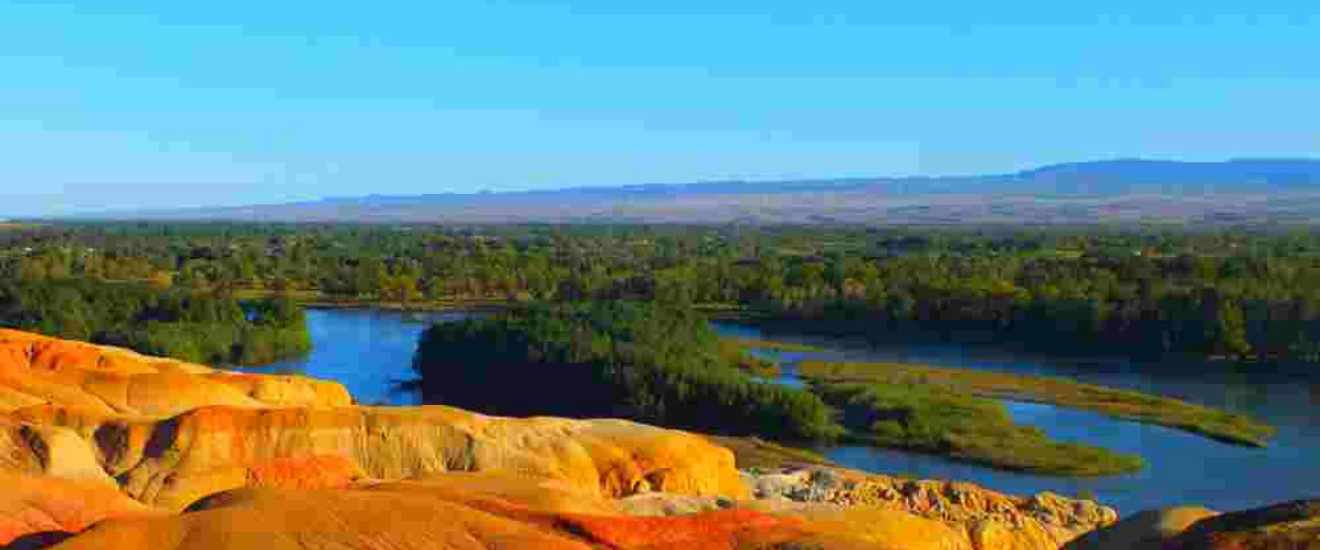
Burqin, a town in the northern part of Xinjiang, with the Irtysh River (the only Chinese river flowing to the Arctic Ocean), the colorful striped rock.
Burqin Travel guide
This town lies in the northern part of the Xinjiang Uyghur Autonomous Region, at the southern foot of the Altai Mountains. The Eerqisi River flows nearby, with forests and grasslands stretching along both banks. Gentle hills surround the area, their colors shifting from green in summer to golden in autumn. This river is unique among China's rivers, as it empties into the Arctic Ocean, its abundant waters nourishing the surrounding grasslands.To the northwest of the town, a rocky hillside displays striking multicolored stripes. Over many years, the river's flow has carved through the earth, creating bands of red, yellow, and green—a truly remarkable landscape. At dusk, the rocks take on deeper hues, and together with the reflections on the water's surface, they form an unforgettable scene.For centuries, this region has been home to pastoral communities, who still follow the age-old tradition of moving their herds across seasonal pastures. The local market offers dairy products, dried meats, and freshly baked bread, offering a glimpse into the vibrant culture of nomadic life. Herds of horses and sheep grazing across the grasslands are another hallmark of this land.The town serves as a gateway to Kanas Lake and the surrounding mountain villages, with roads converging from all directions. Within the town, guesthouses and eateries line the streets, providing travelers exploring northern Xinjiang with a welcoming stop. Nestled between the river and the grasslands, this tranquil town is an ideal base for journeys through the northern regions.
Photos of Burqin
Burqin Essential information
Best time to visit
For exploring grasslands and rivers, the best time to visit is from early summer through autumn. In summer, the days are long, and the grasslands turn lush green. Autumn brings a vibrant display of golden foliage, making the riverside scenery especially stunning. Winter, with its biting cold, blankets the landscape in snow. The dramatic seasonal changes are one of this region's greatest charms.
Weather and climate
Located on an inland plateau, this region enjoys cool, dry days in summer. Winters are long and bitterly cold, with frequent snowfall. There is a significant temperature difference between day and night, so mornings and evenings can be quite chilly even during the warm season. The air is dry, and long hours of sunshine are also a notable feature. Rainfall is scarce, and when it does occur, it tends to be heavy but brief.
Local food
A hearty lamb stew, fermented dairy drinks, and freshly baked bread are staples on the dining table. Dried meats and dairy products have long been prized as preserved foods. Grilled fish caught in local rivers is another signature flavor of this region. Pairing fragrant bread with strong tea is also a common sight during your travels.
Getting there and around
extend from the towns of Urumqi and Altay, making car travel the primary mode of transport. To reach Kanas Lake and the surrounding villages, continue heading north from these locations. Some sections are long and time-consuming, so be sure to allow ample time in your itinerary. Additionally, there may be limited gas stations and dining options along certain stretches, so it's advisable to plan ahead for a smooth journey.
Travel tips
Due to its inland location, the area is dry and experiences strong sunlight, yet mornings and evenings can be quite chilly. Be sure to bring something to wear over your clothes and take adequate sun protection. As travel distances are long, allow plenty of time for your itinerary. When visiting grasslands or riverbanks, please respect local herding practices and ways of life.
Burqin Monthly climate
Typical monthly temperatures and rainfall based on historical climate records.
Jan
- Avg. high
- -10℃
- Avg. low
- -22℃
- Rainfall
- 13.8mm
Feb
- Avg. high
- -7℃
- Avg. low
- -20℃
- Rainfall
- 10.8mm
Mar
- Avg. high
- 1℃
- Avg. low
- -11℃
- Rainfall
- 9.2mm
Apr
- Avg. high
- 14℃
- Avg. low
- 2℃
- Rainfall
- 14.4mm
May
- Avg. high
- 22℃
- Avg. low
- 9℃
- Rainfall
- 17.1mm
Jun
- Avg. high
- 27℃
- Avg. low
- 13℃
- Rainfall
- 17.1mm
Jul
- Avg. high
- 28℃
- Avg. low
- 15℃
- Rainfall
- 24.9mm
Aug
- Avg. high
- 27℃
- Avg. low
- 13℃
- Rainfall
- 18.2mm
Sep
- Avg. high
- 21℃
- Avg. low
- 8℃
- Rainfall
- 14.9mm
Oct
- Avg. high
- 12℃
- Avg. low
- 1℃
- Rainfall
- 15mm
Nov
- Avg. high
- 1℃
- Avg. low
- -9℃
- Rainfall
- 21.1mm
Dec
- Avg. high
- -8℃
- Avg. low
- -19℃
- Rainfall
- 19mm
Historical climate averages for planning only. This is not a weather forecast.