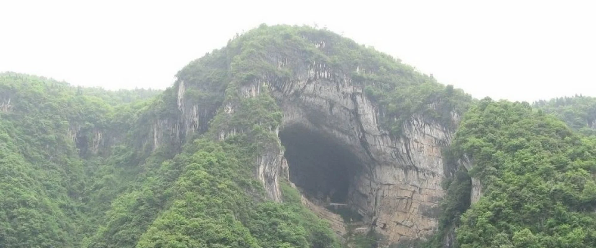
Enshi Travel Guide
Enshi, in southwestern Hubei, is a land of long gorges with sheer cliffs, the culture of ethnic minorities, and the mountain ingredients of the local table.
Enshi Travel guide
Enshi Tujia and Miao Autonomous Prefecture is a land in the southwestern part of Hubei, surrounded by mountains. Steep cliffs and deep valleys rise in layers. The damp climate supports rich forest.A long, great gorge runs through the prefecture. A narrow path runs along the cliff, and a clear stream flows in the valley below. On misty days the peaks of the rock float among the clouds.The life and culture of ethnic minorities have been passed down here. Villages are scattered in the mountain country, and the distinct songs, dances, and weaving skills are part of the place. The scenes of old stone-built villages are preserved as they were.The prefecture is connected to the provincial capital and surrounding cities by rail and road, and roads run to the gorges. The land suits a trip that takes in the cliffs, the forest, and the culture of the mountain country together. A walk through the villages brings the breath of the mountain life, and the sound of the water in the valley can be heard while walking slowly.
Photos of Enshi
Enshi Essential information
Best time to visit
Summer to autumn is good for the gorges. Summer brings cool wind in the valleys, and the waterfalls gain strength. Autumn colors the trees, and the contrast with the rock is beautiful. Spring brings flowers, and winter brings snow. Rainy days are common, so plan around the weather.
Weather and climate
The valley climate brings much rain and mist. Summer is cool, and winter holds the cold. The temperature differs greatly between the top of the mountain and the bottom of the valley, and mist is common. Rain gear is reassuring through the year.
Local food
Mountain ingredients are used in flavorful cooking. Smoked meat, mountain greens, and mushrooms appear on the table, and corn-based dishes and sour pickled foods are local flavors.
Getting there and around
Enshi is reached by rail and road from the provincial capital, into the mountain country. The gorges and the villages are reached by car from the center of the prefecture, and the mountain roads are long, so travel time should be allowed for.
Travel tips
The gorge paths can be wet, so shoes with good grip are a good fit. Rain gear and a layer are reassuring. In the villages, observe the fact that they are places where people live. On the mountain paths, follow the posted signs.
Enshi Monthly climate
Typical monthly temperatures and rainfall based on historical climate records.
Jan
- Avg. high
- 8℃
- Avg. low
- 3℃
- Rainfall
- 22.9mm
Feb
- Avg. high
- 10℃
- Avg. low
- 4℃
- Rainfall
- 32.2mm
Mar
- Avg. high
- 15℃
- Avg. low
- 7℃
- Rainfall
- 45.8mm
Apr
- Avg. high
- 21℃
- Avg. low
- 12℃
- Rainfall
- 96.5mm
May
- Avg. high
- 26℃
- Avg. low
- 17℃
- Rainfall
- 137mm
Jun
- Avg. high
- 29℃
- Avg. low
- 20℃
- Rainfall
- 164.3mm
Jul
- Avg. high
- 32℃
- Avg. low
- 23℃
- Rainfall
- 162.3mm
Aug
- Avg. high
- 32℃
- Avg. low
- 22℃
- Rainfall
- 112.4mm
Sep
- Avg. high
- 27℃
- Avg. low
- 19℃
- Rainfall
- 82.1mm
Oct
- Avg. high
- 21℃
- Avg. low
- 14℃
- Rainfall
- 83.3mm
Nov
- Avg. high
- 16℃
- Avg. low
- 9℃
- Rainfall
- 52mm
Dec
- Avg. high
- 10℃
- Avg. low
- 4℃
- Rainfall
- 22.5mm
Historical climate averages for planning only. This is not a weather forecast.